This introduction talks about the environmental screening tool and its use. Please see the topic About Help for advice about how to use the online help.
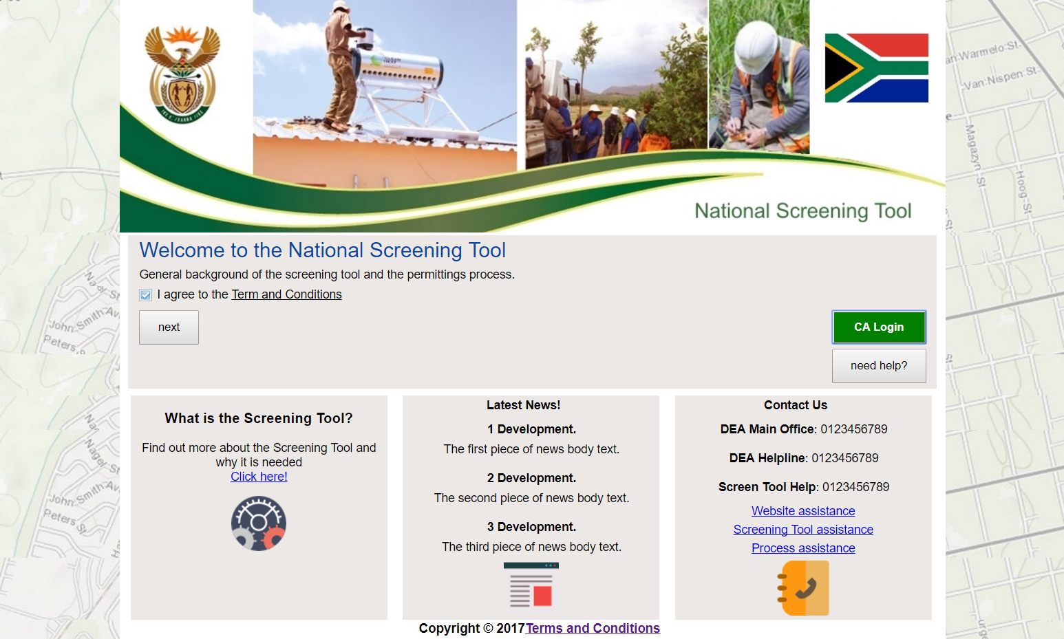
The screening tool (Figure 1) of the Department of Environmental Affairs (DEA) allows to study the environmental sensitivities of a chosen site with regard to a proposed activity or development. The tool is also called the National Screening Tool (notably on the welcome page) because it is deployed at South Africa's national DEA rather than at one of its provincial counterparts.

The screening tool has two purposes: it visualises environmental sensitivities on maps and it produces corresponding reports. The next two sections give more detail.
The screening tool can be used to produce maps showing the distribution of the sensitivities in and around the chosen area with regard to an environmental layer (e.g. The Field Crop Boundaries layer of the Agriculture theme).
The screening tool can be used to generate reports that summarise the sensitivities of the chosen area.
The screening tool can be used in two different contexts: one is the official use by the DEA, the other the use by the general public. The next two sections give more detail.
When used by the DEA, the screening tool forms an integrated part of the Coordinated and Integrated Permitting System (CIPS, pronounced [kips]) that the DEA uses for the routine processing of applications for environmental permits. Access to CIPS is restricted to registered users.
The DEA allows the general public to freely use the screening tool so that anyone can explore the environmental sensitivities of any place in South Africa. The members of the public use the tool as anonymous users and no login is required.
The anonymous access is among others intended for parties that prepare applications for environmental permits. The applicants could run the tool time and again with development footprints reflecting various options, placements and scenarios for a particular project until a satisfactory solution emerges. Such a thorough preparation will economise time and effort later when the DEA needs to process the application.
Whatever the context and the purpose, the user must define the so-called site area for which the permit is issued and one or more development footprints within that area, which cover the zones directly affected by the planned activity or development.
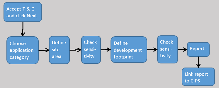
While working with the screening tool, you advance through several steps. The tool has eight steps altogether (Figure 2).

Please see the text under Steps for more detail.